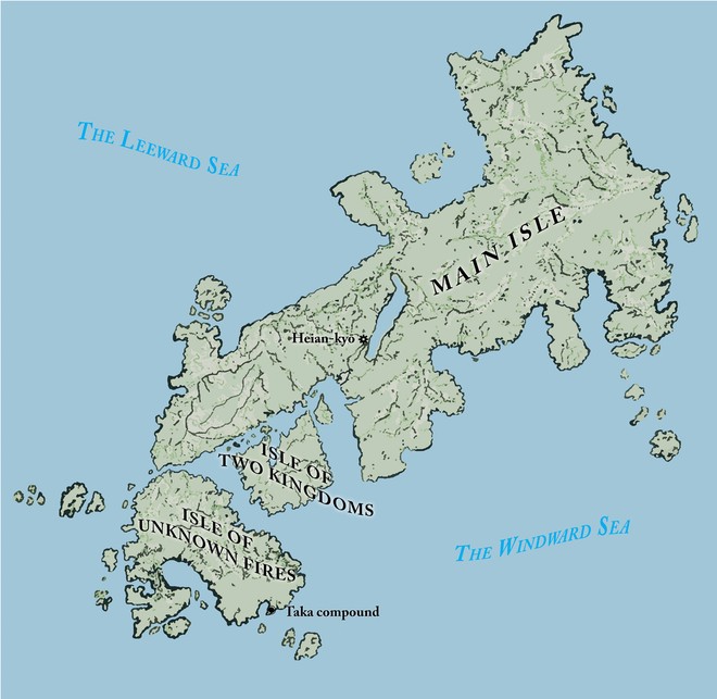
Custom illustrated maps are a staple of historical fiction and fantasy epics, so it was a joy to be able to create them for Katherine M. Lawrence’s Yamabuki books about a woman samurai in Heian-era Japan.
From a series of maps used in Katherine M. Lawrence’s Sword of the Taka Samurai books.
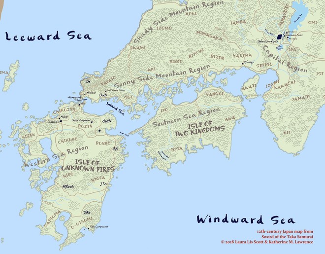
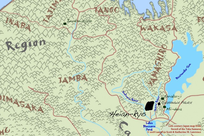
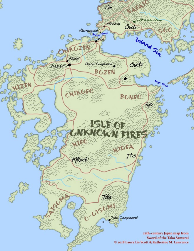
The clans and prefectures indicated in the maps are historically accurate, with a few exceptions to suit the narratives in the book series.
Detail on the region north and west of Heian-kyō (later named Kyoto).
Detail on Kyushu. The fictional Taka clan is based in Ō–Utsumi.
Case Study: Maps of Heian Japan
I hand-drew the maps, based loosely on known geography today.
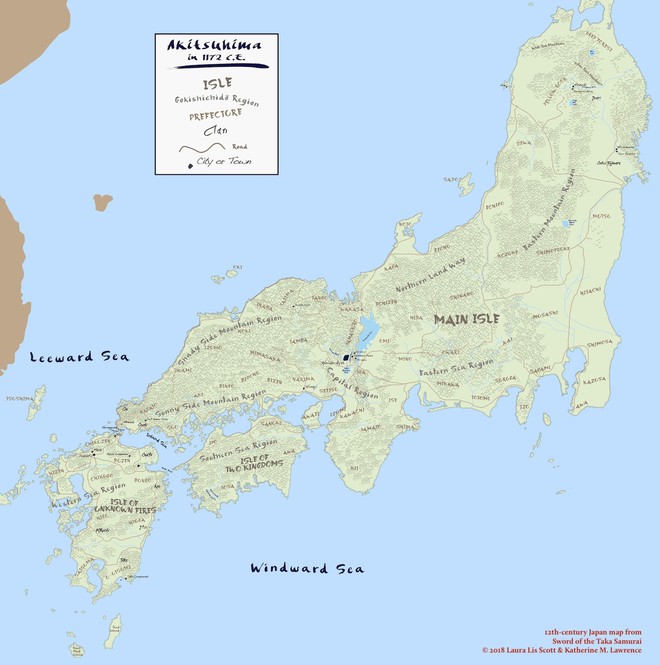
Early version of map of Akitsushima. This was based the maps off of medieval maps created by European explorers because they reflected a centuries-old understanding of the archipelago’s coastlines and terrain. We ended up setting aside this approach. I share it here only for your curiosity.